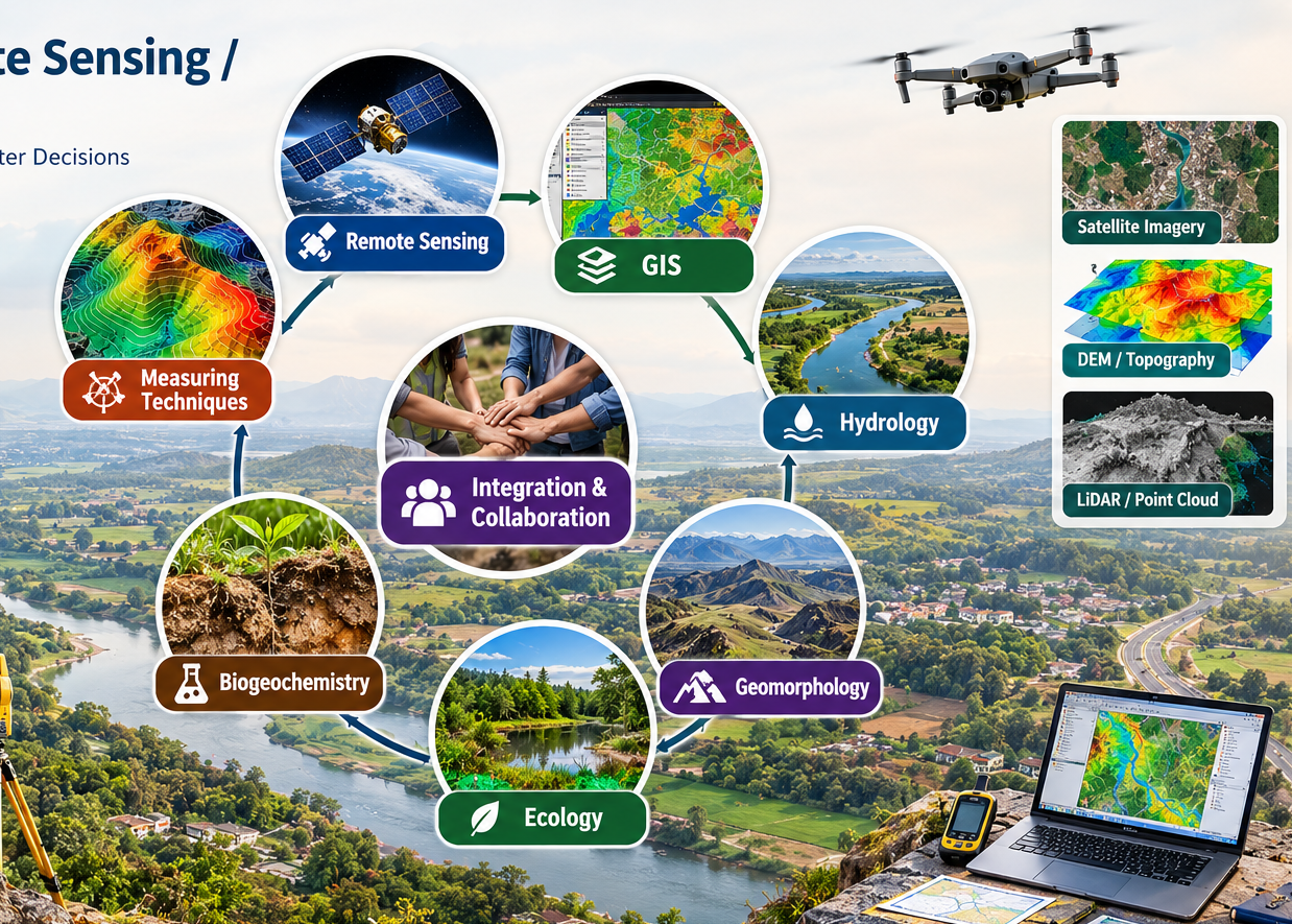
πŸ—ΊοΈ Python with GIS & Geospatial Technology
752-2929-752|
Galaxia Geotech GIS
Hands-on Embedded Systems Firmware Coding background
πŸ—ΊοΈ Python with GIS CertificationπŸ“ FC Road, Pune Center⭐ 4.9/5 Rating (320+ Reviews)

Python with GIS Curriculum

Learn Python programming, GIS automation and geospatial analysis through practical, real-world projects with modern GIS tools and geospatial Python libraries.

Module 1 β€” Python FundamentalsModule 014 Weeks
Python Fundamentals

Module 1 β€” Python Fundamentals

Master core Python programming syntax, data structures, control flow, functions, file handling, and object-oriented programming essential for writing clean geospatial automation scripts.

Module Topics & Practical Labs:

  • Python Syntax, Variables & Data Types
  • Operators, Conditions & Loops
  • Functions, Lists, Tuples, Dictionaries & Sets
  • File Handling & Exception Handling
  • Modules, Packages & Object-Oriented Programming (OOP)
Module 2 β€” GIS FundamentalsModule 023 Weeks
GIS Fundamentals

Module 2 β€” GIS Fundamentals

Understand spatial data structures (vector & raster), attribute tables, Coordinate Reference Systems (CRS), spatial databases, data quality, and standard GIS data formats.

Module Topics & Practical Labs:

  • Vector Data (Points, Lines, Polygons) & Raster Grids
  • Attribute Data & Spatial Database Concepts
  • Coordinate Reference Systems (CRS): Geographic vs Projected
  • GIS Data Formats: Shapefiles, GeoJSON, GeoTIFF, GeoPackage
  • Data Quality, Spatial Precision & Metadata Standards
Module 3 β€” Python for GISModule 035 Weeks
Python for GIS

Module 3 β€” Python for GIS

Harness the modern Python geospatial ecosystem: GeoPandas, Shapely, Fiona, Rasterio, and PyProj to process spatial datasets, transform coordinates, and perform automated spatial joins and queries.

Module Topics & Practical Labs:

  • GeoPandas & Shapely Geometry Operations
  • Fiona & Rasterio for Raster/Vector I/O
  • PyProj Coordinate Transformations
  • Spatial Joins, Spatial Queries & Buffer Operations
  • NumPy, Pandas & Matplotlib Spatial Visualizations
Module 4 β€” Map Projections & Geodetic ConceptsModule 042 Weeks
Map Projections

Module 4 β€” Map Projections & Geodetic Concepts

Learn how the curved Earth is projected onto 2D surfaces, understand projection distortion properties (shape, area, distance, direction), and master UTM, Mercator, and Lambert Conformal Conic.

Module Topics & Practical Labs:

  • Cylindrical, Conical & Planar / Azimuthal Projections
  • Common Projections: Mercator, UTM, Robinson, Lambert Conformal
  • Distortion Analysis (Tissot Indicatrix Concepts)
  • Orthometric Height vs Ellipsoidal Height (h = H + N)
  • Geoid Undulation & Elevation Reference Systems
ALUMNI SUCCESS

What Our Geospatial Learners Say

Hear from graduates who automated spatial data pipelines and advanced their careers.

β€œAutomating spatial queries and raster processing with GeoPandas and Rasterio gave me an incredible edge. Galaxia Geotech provides practical knowledge that direct job roles require.”
Anjali Sharma
Anjali SharmaGIS Analyst & Developer
β€œThe drainage network extraction from DEM and buffer analysis modules were very clear and thoroughly explained with real datasets. Best Python GIS training in Pune!”
Vikram Joshi
Vikram JoshiRemote Sensing Specialist
β€œTransitioning from general Python to spatial libraries was seamless. The faculty is experienced, and the project portfolio was pivotal in my interviews.”
Rohan Patil
Rohan PatilGeospatial Data Scientist
FREQUENTLY ASKED QUESTIONS

Course Details & Admissions FAQ

WHAT IS THE COURSE STRUCTURE AND DURATION?
The complete Python with GIS course is structured into 4 intensive modules spanning Python Fundamentals, GIS Fundamentals, Python Geospatial Libraries (GeoPandas, Shapely, Rasterio), and Map Projections & Geodetic Concepts. It typically takes 8 to 12 weeks with flexible weekday and weekend options.
DO I NEED PRIOR PROGRAMMING EXPERIENCE?
No! The course starts from Module 1 covering Python fundamentals (syntax, variables, data structures, functions, OOP) before progressing to spatial libraries.
WHAT REAL-WORLD PROJECTS WILL I BUILD?
You will build hands-on portfolio projects including: 1) Hospital Service Area & Buffer Analysis, 2) DEM Drainage Network Extraction, 3) Multi-temporal Land Use Change Detection, and 4) Flood Risk Susceptibility Mapping.
IS AN INSTITUTE CERTIFICATE PROVIDED?
Yes. Upon completing the course curriculum and submitting the practical project assignments, you will receive an institute-recognized Python with GIS Certification from Galaxia Geotech.
CAN I ATTEND A FREE DEMO CLASS BEFORE ENROLLING?
Yes! Click on "Book Free Demo Class" to register for a live or classroom demo session at our FC Road, Pune center.